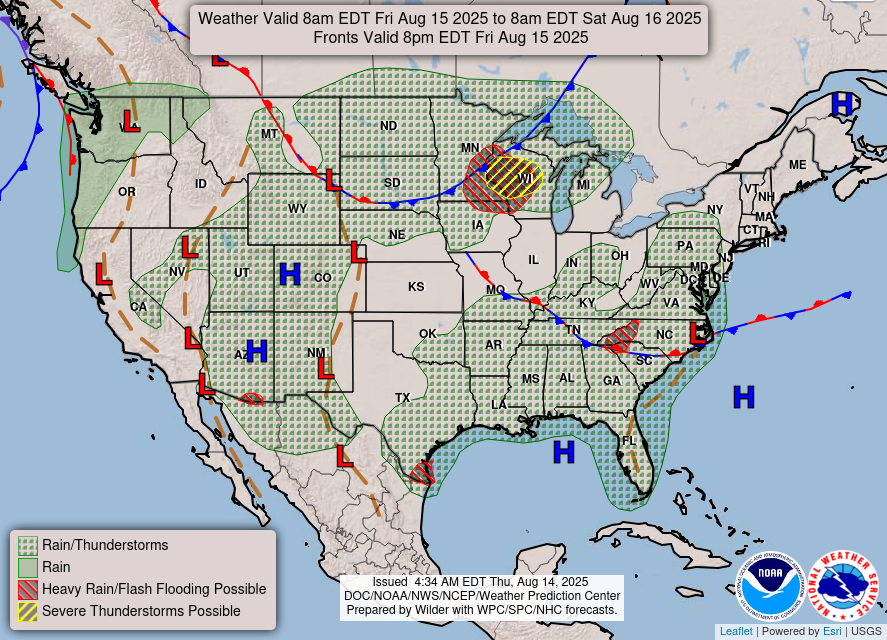
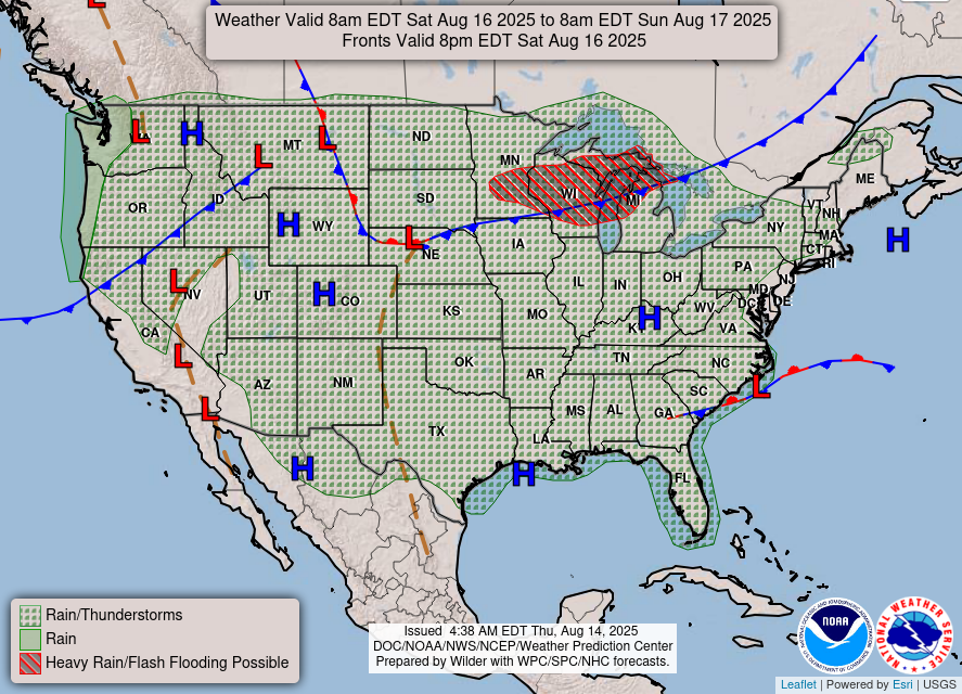
…Rounds of scattered thunderstorms expected to impact portions of the
Northern Plains to the Eastern U.S. and Southern U.S. through the next
couple of days with chances of flash flooding and locally heavy rain…
…Isolated dry thunderstorms brings risk for fire weather concerns for
the northern Great Basin…
…A couple of days of heat across the Central Plains, and major to
locally extreme HeatRisk is forecast for northern to central Florida…
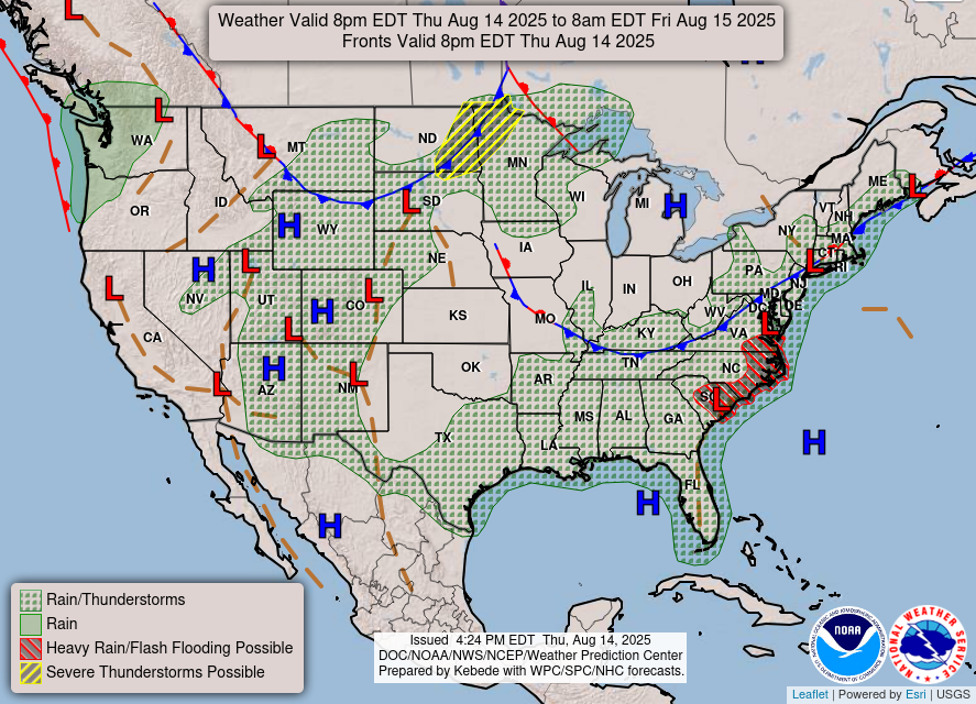
A slow moving cold front over the Northern Great Plains will continue to
move eastward towards interior Mid-Atlantic over the next few days,
promoting chances for scattered showers and thunderstorms across parts of
the Northern Great Plains, Eastern U.S. and Southern U.S. With sufficient
moisture and warm air in the mid-levels, expect chances for multiple
rounds of locally heavy rain and flash flooding. Areas along the Carolina
coast and Upper Midwest have been placed under a Slight Risk (Level 2/4)
of Excessive Rainfall for today into Friday. The Upper Midwest will
continue to experience prolong chances for showers into the weekend,
allowing for the risk for excessive rainfall and possible flooding to
linger.
A upper level high pressure system will move over the Northern Great Basin
bringing chances for some isolated dry thunderstorms, strong winds, and
dry conditions. This will create elevated risk for fire activity across
the Great Basin, Northern Rockies, Southern California, and Sierra Nevada
today into Friday.
Warm temperatures continue to push towards the Midwest and Central U.S.
into parts of Eastern U.S. the next few days, as the cold front brings
cooler temperatures over the High Plains and Great Basin going into the
weekend. Across parts of Florida, a slight increase of heat and humidity
is enough to raise HeatRisk into Major and locally Extreme levels through
the next couple of days as the Bermuda High builds westward into the
Sunshine State.
Oudit/Kong
Graphics available at
https://www.wpc.ncep.noaa.gov/basicwx/basicwx_ndfd.php