HEADLINES
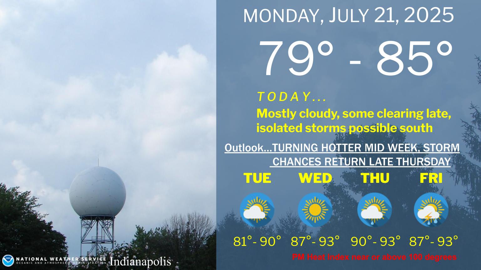
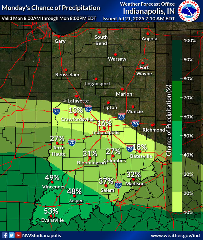
– Clouds and humidity both decrease today.
– Refreshing air tonight and tomorrow.
– Heat and humidity return Wednesday through the weekend.
– 100+ heat index numbers possible.
– Storm chances return Friday through the weekend.
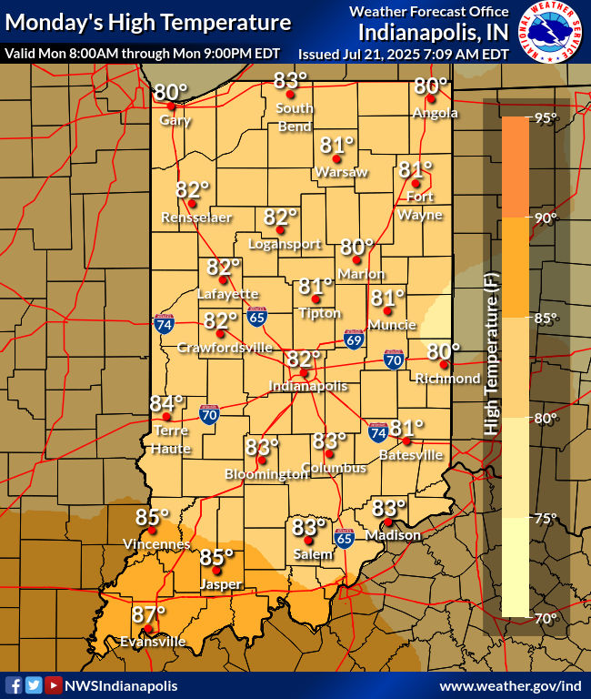
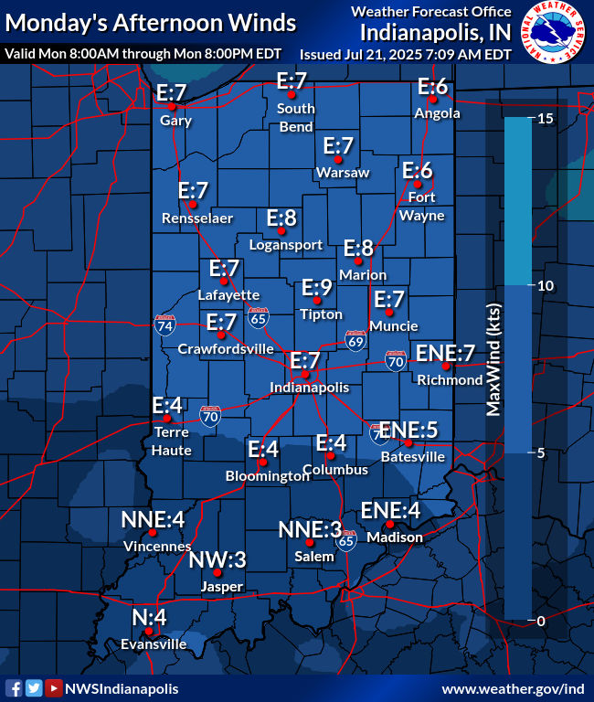
TODAY’S MAP
NWS TECHNICAL DISCUSSION
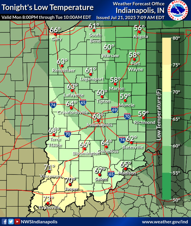
Fairly widespread low cloud cover persisting into the morning hours,
and cooler easterly flow today, will keep high temperatures down in
the low to mid 80s, with lows tonight ranging from as low as the
upper 50s in the northeast to around 70 in the southwest, as a
gradient in dewpoints will remain across the area.

Some redevelopment of low stratus and/or fog will be possible
tonight as the influence of surface ridging over the Great Lakes is
felt across the area.

&&

.LONG TERM (Tuesday through Sunday)...
Issued at 311 AM EDT Mon Jul 21 2025

Consensus continues to increase on the development of upper level
ridging over the Mississippi to Ohio Valleys later this week through
the weekend. Despite its definition, height anomalies are will
likely only be 1 to 2 standard deviations above normal, of which
will likely limit any highly anomalous heating. That said, there is
still high confidence in above normal temperatures through at least
Friday with highs near to just above 90. Dew points are also
expected to remain elevated (between 73 and 76) throughout the week
as well, of which could lead to concerns for heat related illnesses
with heat index values likely above 100 in the afternoons and
overnight lows failing to fall much below the mid 70s.

Rain/storm chances return late in the week, with a pattern
developing fairly similar to the one we`re currently seeing. Ridging
will remain over the SE CONUS, but will begin to flatten out over
the Great Lakes region, allowing for greater upper level flow and
weak low level disturbance to develop. Our convective chances
therefore will depend on mesoscale features not resolvable at this
range. We will keep broad but moderate PoPs at best in the forecast
for now. Increased precip and cloud cover may limit 90 degree
readings this coming weekend.
INDY SEVEN DAY FORECAST
Today Clouds and humidity decrease. Isolated shower possible. High 84.
Tonight: Mostly clear. Refreshing! Low 65.
Tuesday: Mostly sunny. High 87.
Tuesday Night: Mostly clear. Low 68.
Wednesday: Mostly sunny. Humidity increases. High 91.
Wednesday Night: Moslty clear. Low 74.
Thursday: Mostly sunny. High 93.
Thursday Night: Partly cloudy. Low 75.
Friday: Partly sunny. Scattered showers and storms. High 91.
Friday Night: Partly cloudy. Scattered showers and storms. Low 75.
Saturday: Partly sunny. Scattered showers and storms. High 90.
Saturday Night: Partly cloudy. Low 74.
Sunday: Partly sunny. Scattered showers and storms. High 90.

Never miss me! Subscribe for free. My Huge Radar has real-time weather tracking, current temperatures, and severe weather watches and warnings. Get detailed Indiana conditions by clicking here. Click here to see my central Indiana 7-Day Forecast. Follow these links to get my forecasts for Lafayette, Muncie, Hendricks County, and Hamilton County. Need a second opinion? Click here for central Indiana National Weather Service forecasts. (Some charts via WeatherBELL.)


